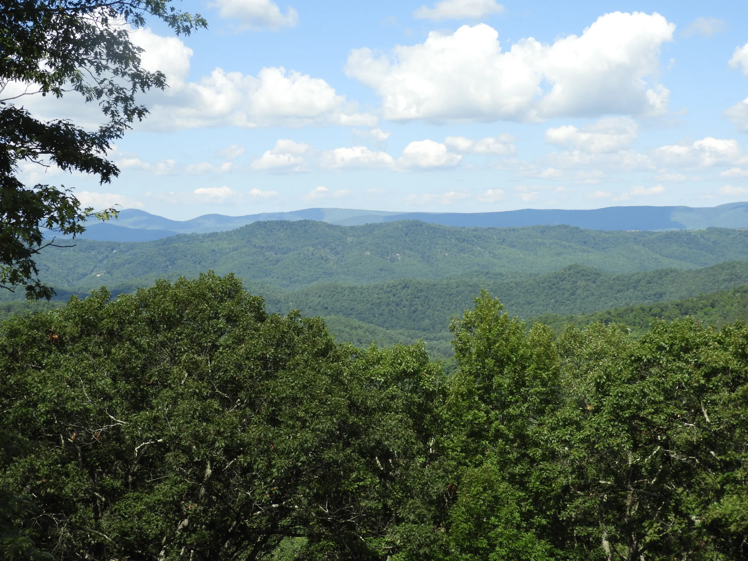
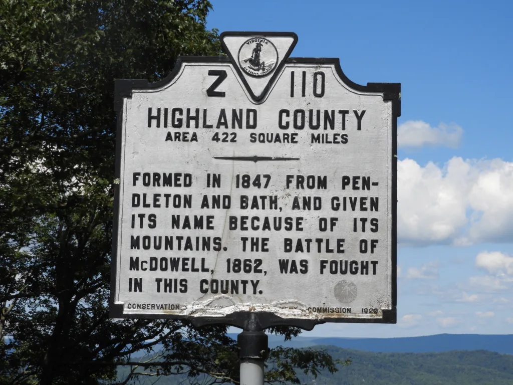
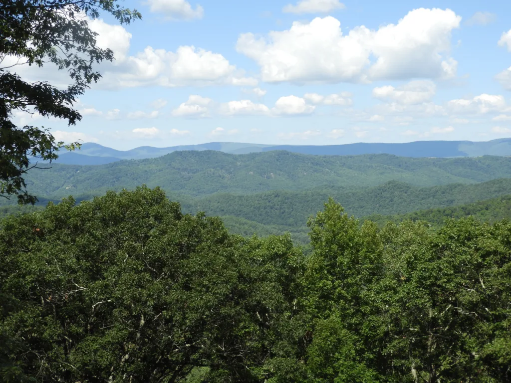
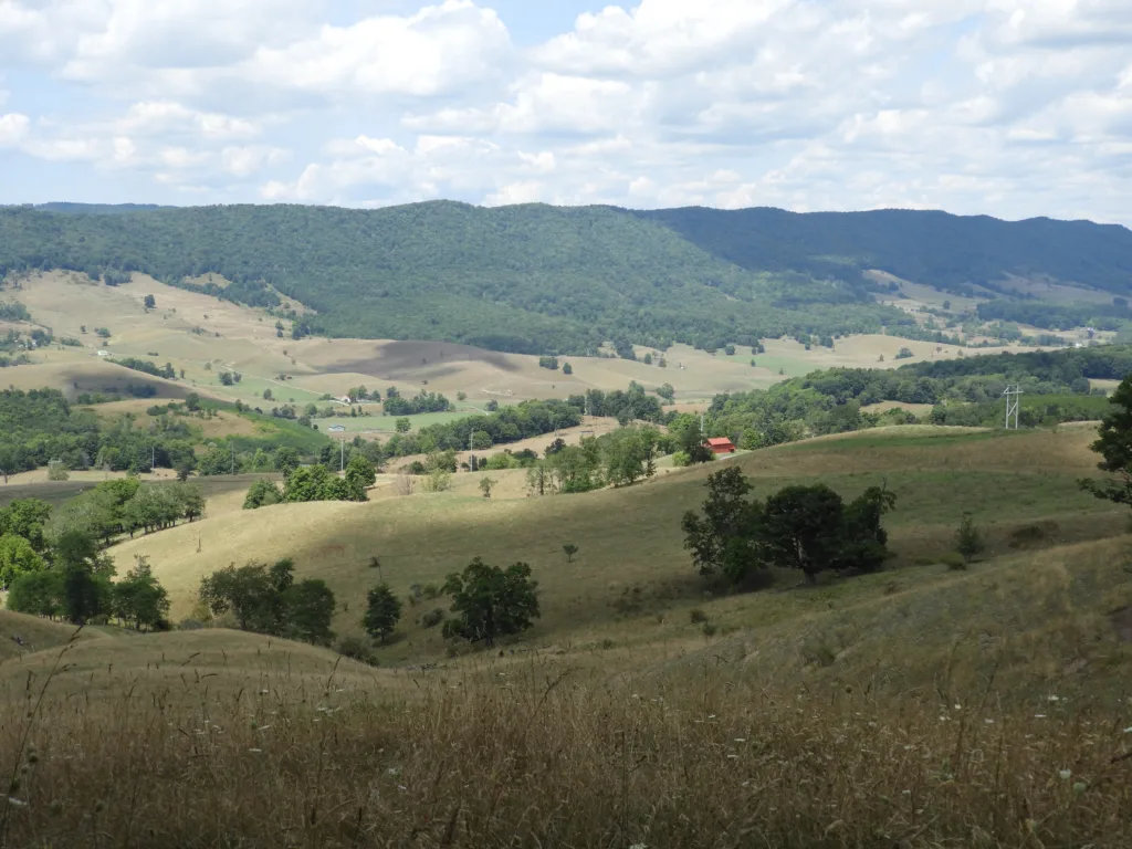
My determination to find and photograph the source of the South Branch of the Potomac River led me, last week, to Highland County, Virginia’s smallest county with a population of only 2,232. Its moniker as Virginia’s “Switzerland” is well deserved as the county is surrounded on all sides by mountains some thousands of feet high.
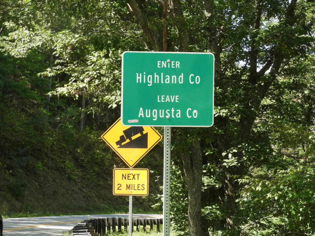
To get to Highland from Leesburg, you must be willing to not only drive on I-81 for over seventy miles buffeted by giant eighteen-wheelers going eighty miles per hour, but once you exit you must climb up and down mountains for over fifty miles exercising your car’s brakes and all your gears. Eventually, Route 250 will take you to Monterey, the county seat, whose population is 165, yes 165!
Just as a reminder, the mighty Potomac River has two main branches; the North, which is 101 miles long, starts near Davis, West Virginia and the South which is 139 miles long starting near Monterey, Virginia. They meet a few miles down river from Oldtown Maryland and from there flow often majestically, but sometimes rather wildly, down to the Chesapeake Bay 400 miles away.
Preliminary research revealed that Google does have a symbol on its maps for the river’s source, and I am fortunate that the family of one of my friends owns some land down there and we were able to discuss the area a bit before my journey. It was on their advice that I reserved lodgings at the Curly Maple Inn, a two-bedroom apartment with kitchen and sitting room above the restaurant which served a delicious BLT. (The tomatoes must have been grown locally because they were scrumptious!)
While eating lunch in the crowded restaurant I passed around the Google map and asked if anyone knew who owned the land I intended to trespass on. “Would I be shot?”, I asked with a smile only half-kidding. The young waitress took the map and disappeared into the kitchen. When she returned about ten minutes later, she assured me that I would be OK, and nobody would shoot me. Did she contact the landowner? Or did she simply know this to be true? Fortunately, she was correct!
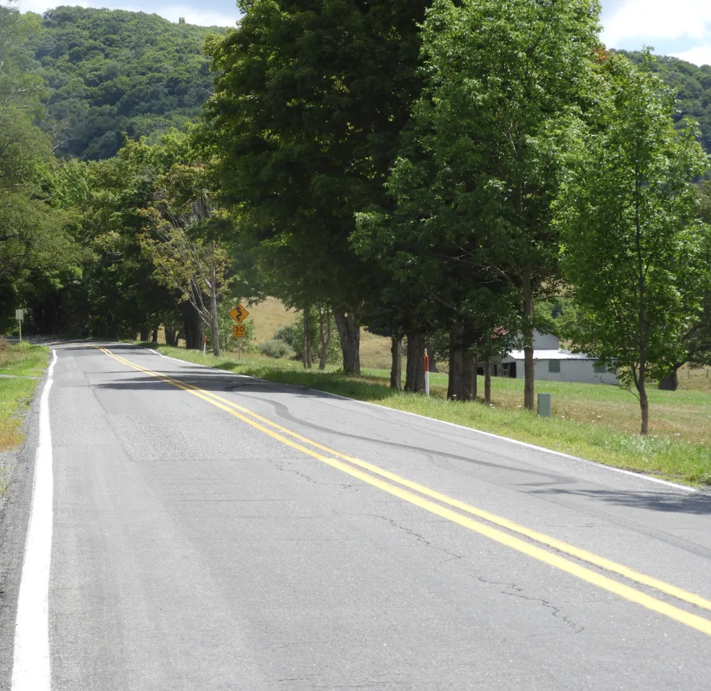
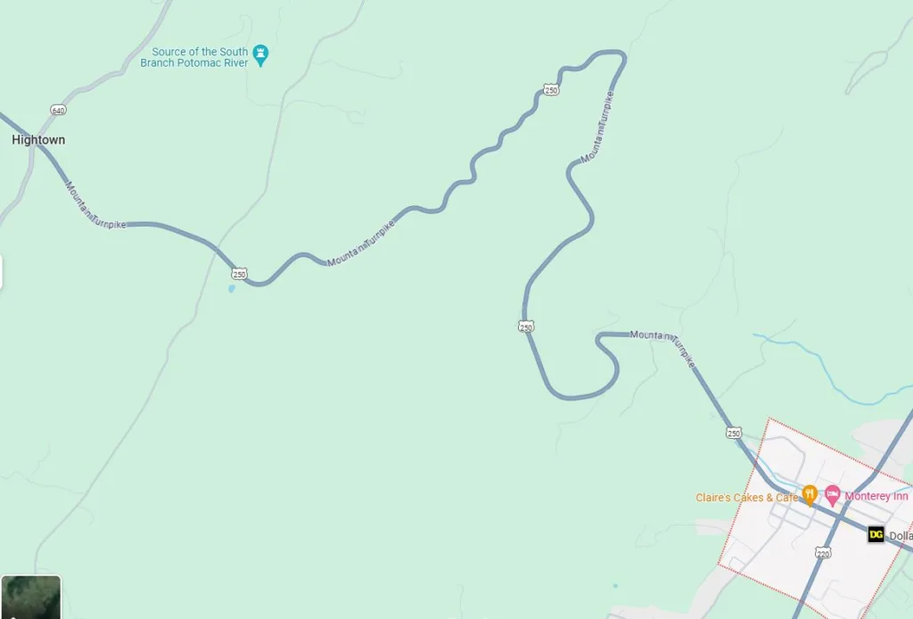
After lunch I drove Route 250, the aptly named Mountain Turnpike out of Monterey towards Hightown, which sits at an altitude of 3,123 feet. Route 250 at Hightown is the dividing line between two great watersheds. If a raindrop falls on the southwest side of the road it is heading for the James River, but should the raindrop fall on the northeast side of the road it will join billions of other raindrops which comprise the Potomac River. Hightown is also the location of Parting Waters Farm, so named because it has barns on both sides of the road. Think of it, a raindrop’s future depends on which barn roof it happens to fall upon!
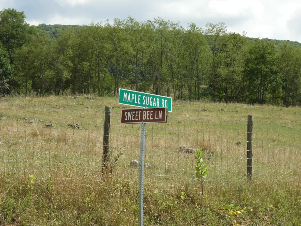
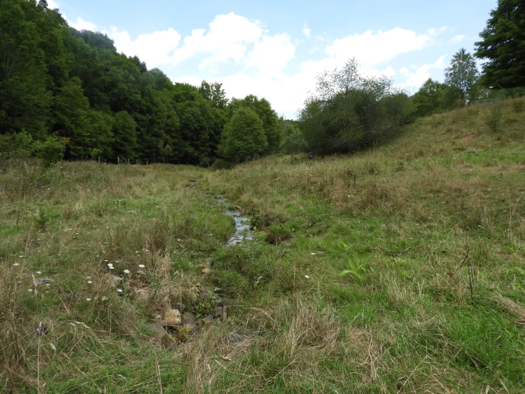
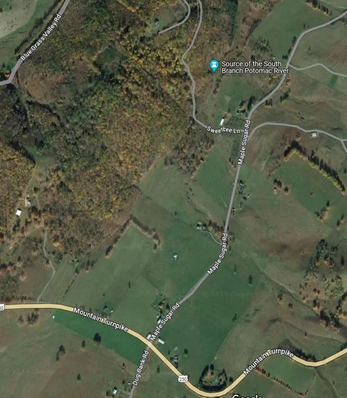
The Google map directed me to make a right turn before Hightown onto Maple Sugar Road and then a left turn on Sweet Bee Lane. Sweet Bee Lane turned out to be the narrowest of dirt paths through an apple orchard. Seeking permission to continue, I knocked on the door of a nearby house but there was no answer, and I decided to proceed. The sweet smell of overripe apples was overwhelming but not unpleasant. The road was soon blocked by locked gate. Reaching for my trekking poles, I continued on foot walking through a pasture which was happily abundant with wildflowers rather than cows.
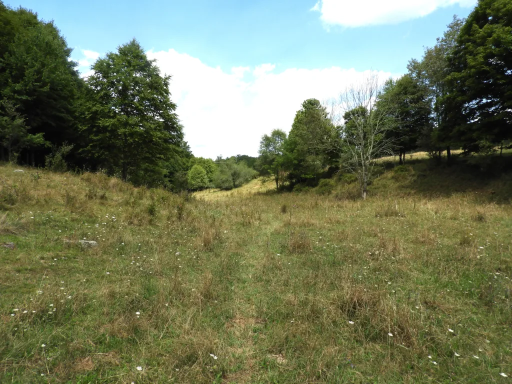
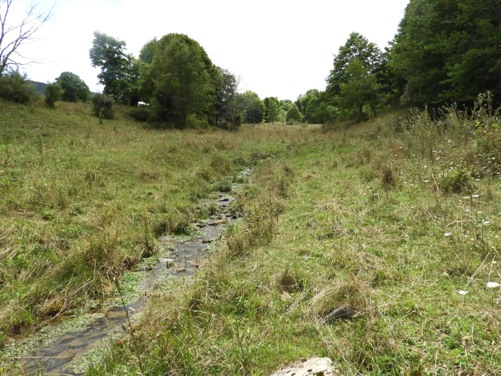
After walking perhaps three hundred yards, I saw it. Eureka! bubbling out of the ground and quickly forming an above ground stream was the source of the South Branch of the Potomac River!
I returned to town triumphant in the late afternoon. The weather was fair in Monterey and not too hot. Small groups of locals were seated on the chairs and benches provided by the downtown merchants. I joined in the conversation. What a pleasant way to spend a summer late-afternoon, talking to your neighbors and perhaps some interesting stranger who had wandered into town.
As the evening fell, I treated myself to a strawberry milkshake for dinner at High’s Restaurant. Went to bed early at the Curly Maple Inn, woke up and enjoyed a scrambled egg breakfast at Clarie’s Cakes and Café and was off back to my hometown, Leesburg, Virginia.
-End-
Paul Kreingold – August 20, 2024


Leave a Reply